ScanX
Industries
Energy

Energy - ScanX Solutions

Energy is now in digital 3D format!

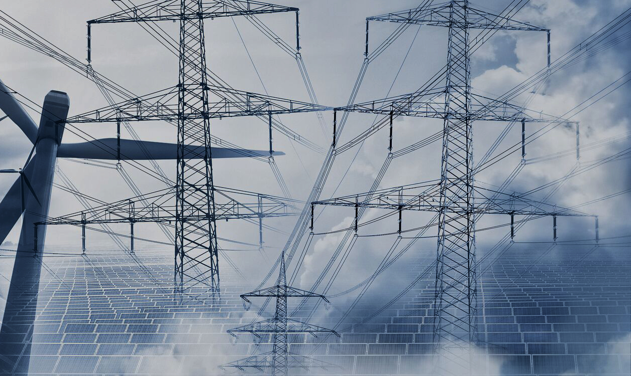
The use of digital transformation in energy allows solving such important tasks as engineering and geodetic surveys for construction, reconstruction or repair, surveying buildings and structures, including linear objects - pipeline transport, as well as calculating the volume of bulk materials and taring of containers and tanks.

Engineering and Geodetic Searches of a New Level!

ScanX offers a comprehensive range of geodetic services aimed at acquiring high-quality and reliable spatial information. Through the utilization of modern geotechnologies such as tacheometry, GNSS, photogrammetry, scanning, and UAVs, the fields of design and construction reach new technological heights with three-dimensional (3D) capabilities. This advancement paves the way for the application of promising Building Information Modeling (BIM) technology in energy facilities.
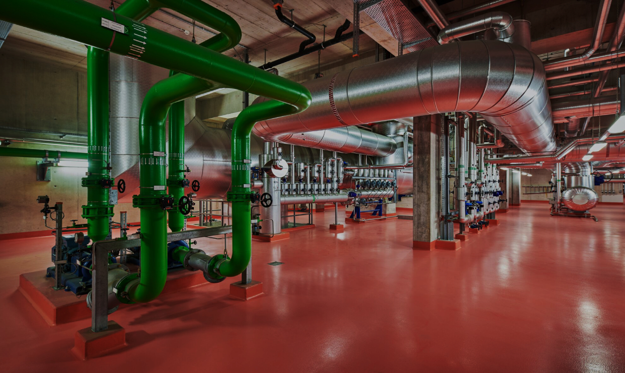
Digitization Is the Way to Sustainable Energy Development!

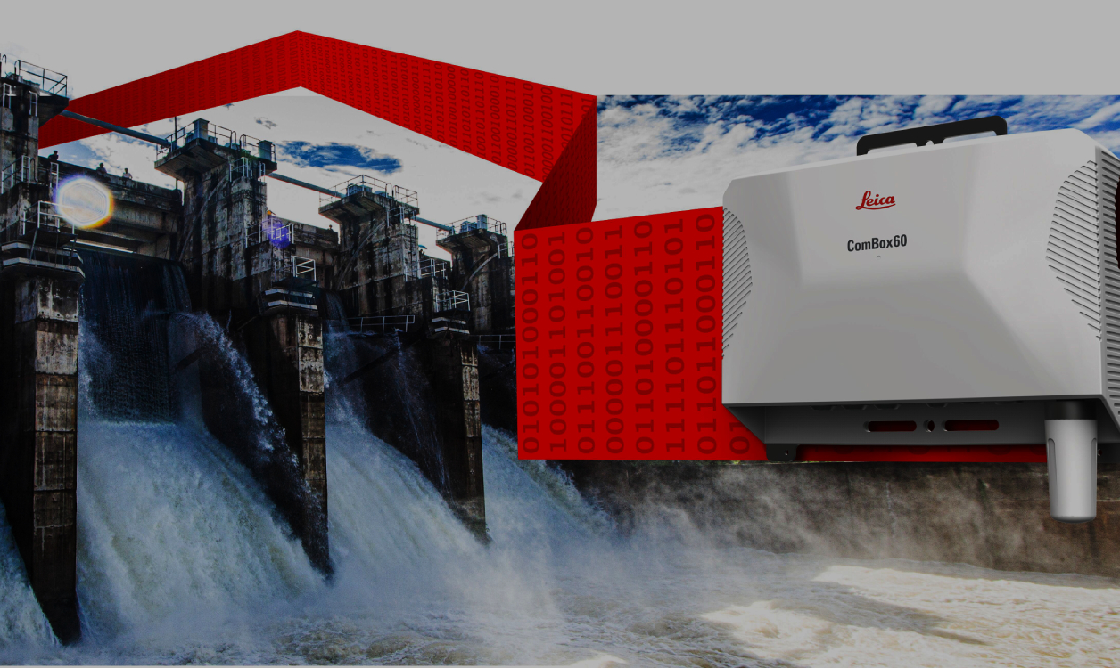
The implementation of BIM (Building Information Modeling) technology during the design and construction stages provides significant advantages during the operation of energy facilities. Geomonitoring of nuclear power facilities, hydroelectric dams, and pipeline transport ensures reliable and safe conditions for the functioning of this critical infrastructure. Through regular monitoring of geometric and spatial characteristics using digital transformation, an up-to-date geodatabase can be created, enabling automated analysis. This approach reduces the time required to make crucial decisions during critical situations, contributing to sustainable energy development.

Impressive Efficiency and Impeccable Quality!

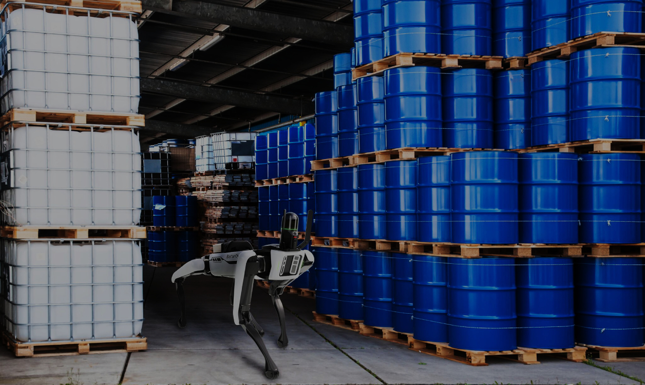
When calculating the volumes of raw materials or bulk materials at energy facilities, in particular at thermal power plants, Scan X implements the technologies of both ground-based laser scanning and LiDAR imaging from UAVs. Unsurpassed efficiency and accuracy of the obtained results gives an advantage in comparison with traditional means of measurements as tacheometry and GNSS. Laser technologies have passed a successful test also in the taring of tank capacities. Metrologists also adopted these technologies in their practice.

 
Please Wait
Loading data...