Infrastructure and Construction - ScanX Solutions
Zatemnenie.jpg)
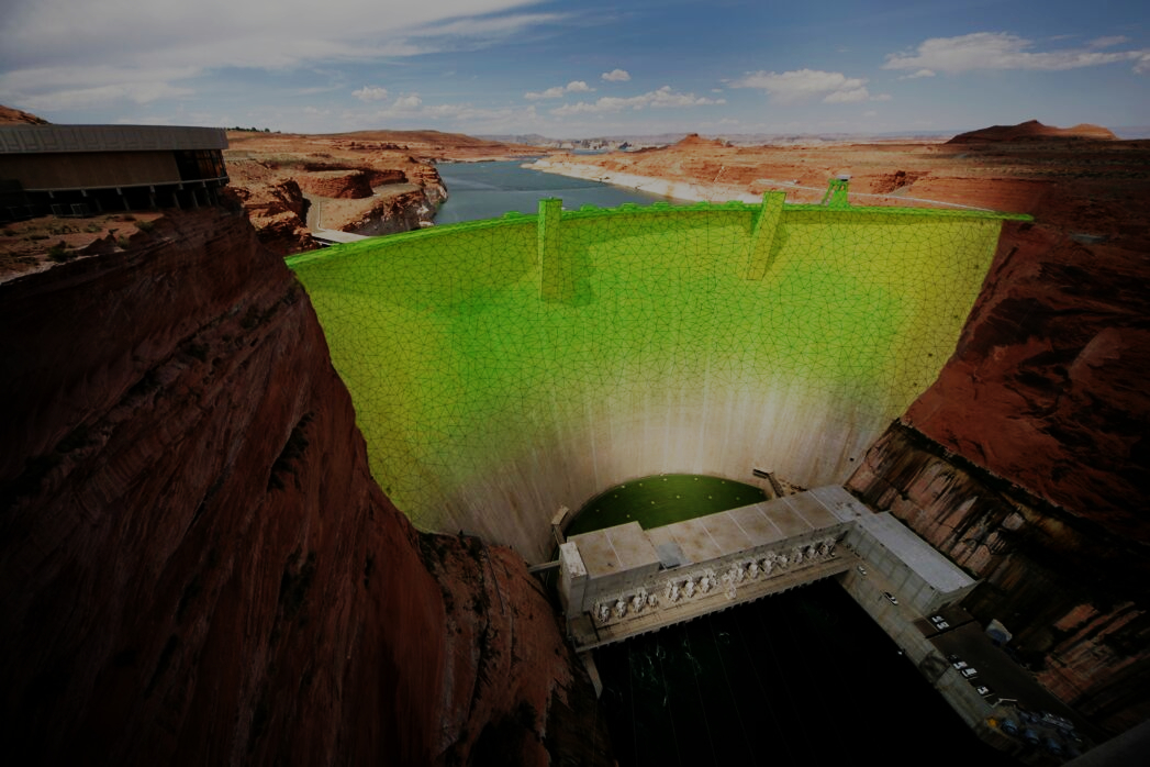
The potential of laser scanning technology, when applied to infrastructure facilities, is very high but has not yet been fully realized. The point clouds acquired through mobile or stationary scanning, along with LiDAR capture, offer a new level of capability in addressing urban cadastre tasks. This ranges from updating plans of various scales to 3D modeling of a digital city. In this case, the concept of a city in a smartphone, virtual (VR), augmented (AR), mixed (MR), and extended (XR) reality is no longer confined to the imagination alone!!

High-tech geodetic equipment, competence and many years of experience of SkanH allow collecting geodata of large infrastructure objects! Whether it is a dense urban development or a railway track in a difficult-to-reach area, our team will select the optimal tool for collecting geodata. We have a portfolio of solutions for various facilities and conditions.

Thanks to cloud technologies of data storage and transmission and the possibilities of laser scanning, it becomes possible to maintain the urban planning cadastre at an unprecedented level: an up-to-date single spatial database provides all users (from employees to the average citizen) with the necessary data - 3D models, drawings, relief, point clouds, numerical meaning and others. Our solutions become especially important with the advent of unmanned transport!

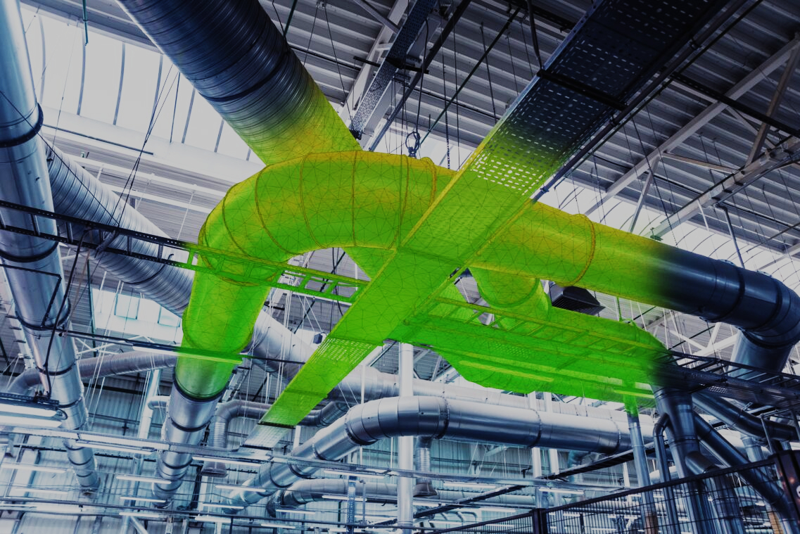
With scanned communications, there is no longer a need to spend excessive time searching for drawings, aligning them with the actual location, or determining their buried positions. Utilizing a 3D point cloud anchored to the desired coordinate system, it becomes possible to obtain both drawings and a comprehensive three-dimensional model of the entire communications network. This enables precise control, maintenance, repair, and modernization, with accuracy down to the centimeter!

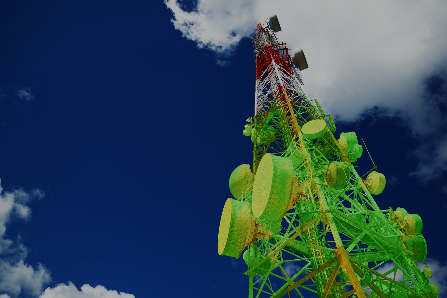
Various infrastructural objects, which have a complex shape and large sizes, used to require a lot of time to obtain data and conduct search operations, sometimes weeks and even months. Currently, thanks to modern equipment and professional skills - these processes can be accelerated to several hours!