ScanX
Technologies
Photogrammetry

Photogrammetry

Determine space with precision - photogrammetry for geodesy!

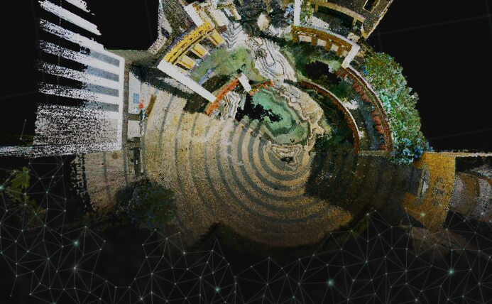
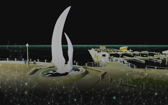
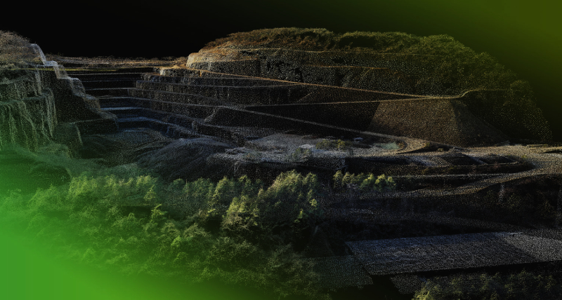
Photogrammetry is the technology of measuring and modeling objects and surfaces using photographs or images. The fundamental principle of photogrammetry involves utilizing common points across different photographs to determine the shape, dimensions, and positions of objects in space.

Versatility and Efficiency!
Photogrammetry finds wide-ranging applications across various industries. In archaeology, for instance, photogrammetry is used to create three-dimensional models of archaeological excavations, reconstruct ancient structures, and study artifacts. In geodesy, photogrammetry aids in measuring terrain relief, generating digital surface models, and conducting cartographic work. In architecture and construction, it facilitates the creation of three-dimensional models of buildings and structures, site planning, and distance and dimension determination. In the field of engineering, photogrammetry assists in design and part placement, measurements, and collision analysis
Digital process transformation!

Photogrammetry is becoming increasingly accessible and efficient thanks to the development of digital technologies and software. The use of photogrammetry enables quick and precise measurements, the creation of three-dimensional models, and analyses, contributing to improved productivity and performance across various industries!

Please Wait
Loading data...