Scanning and Modeling of the Land Parcel
Summary
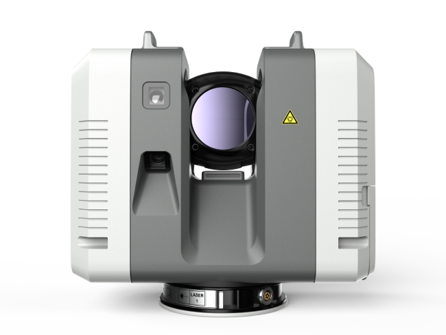
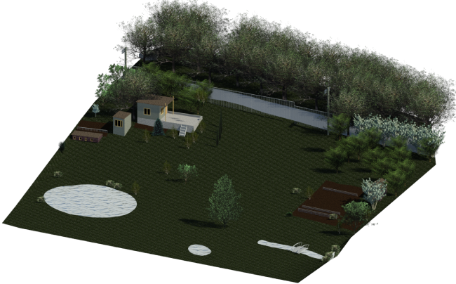
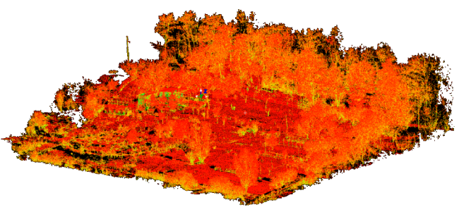
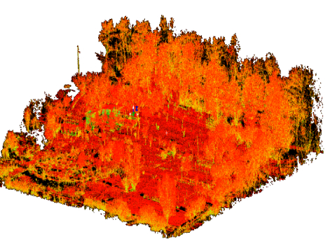
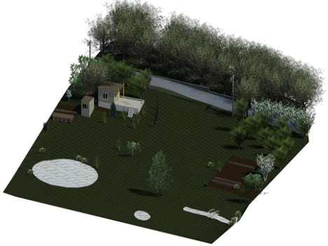
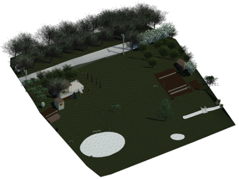
- The scanning object was a land plot located in the Kharkiv region. There is an increasing need for landscape design architectural projects for the arrangement of land plots. Architects require preliminary data on the surveyed land plot to develop such projects and assess the condition of the area. Modern data acquisition technologies, such as laser scanning were utilized to create highly accurate three-dimensional digital models. The scanning object was situated in a dacha cooperative, covering an area of 40 acres with significant elevation differences of up to 14 meters.
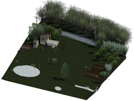
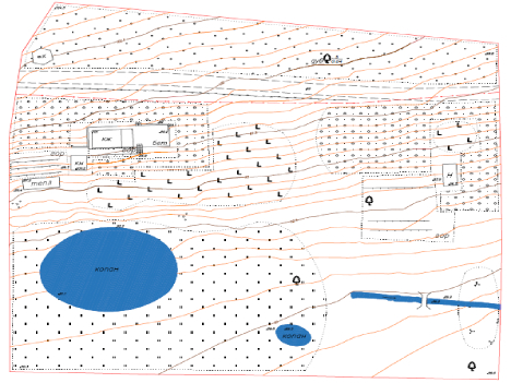
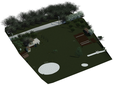
- The purpose of the project was to develop a topographic plan and a three-dimensional model of the land plot based on laser scanning data for further landscape design purposes.
Initial Data & Project Timeline
- The initial data provided by the client included the boundaries of the scanning object.
- The processing of the acquired data and delivery of the final materials to the client were completed within a timeframe of 12 days.
Complexity:
- Medium
- ScanX specialists have successfully implemented numerous projects of varying complexity, utilizing a wide range of equipment and technologies. We invite you to explore the advantages of laser scanning, the stages of work execution, and the results achieved through a real-life example.