Topographic and Geodetic Processing of the Territory Based on Scanning in Rzhyshchiv
Summary
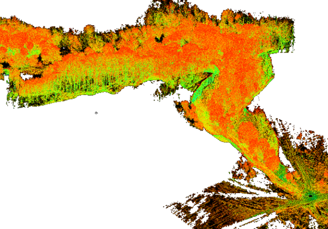
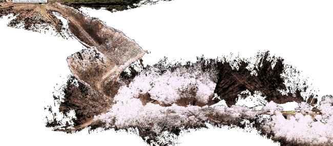
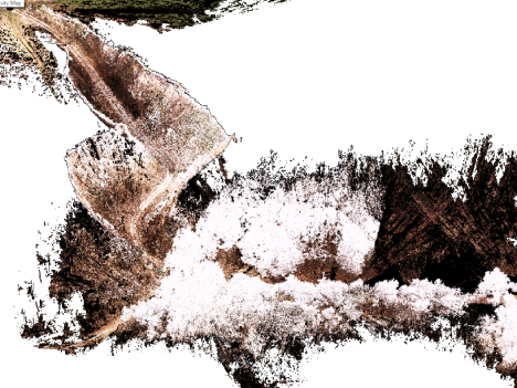
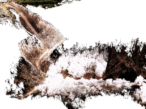
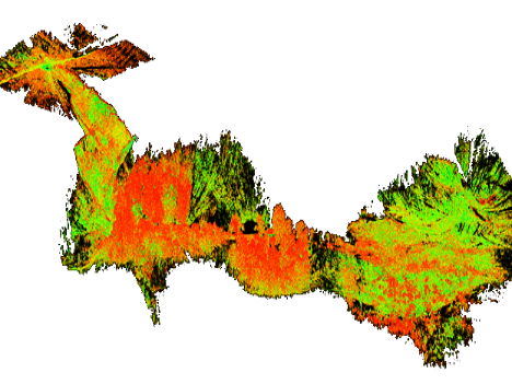
- The scanning object is located on the right, high bank of the Dnipro river in Rzhyshchiv, with a total area of 5,000 m2, containing a ravine with a large number of trees and bushes.
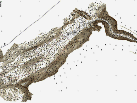
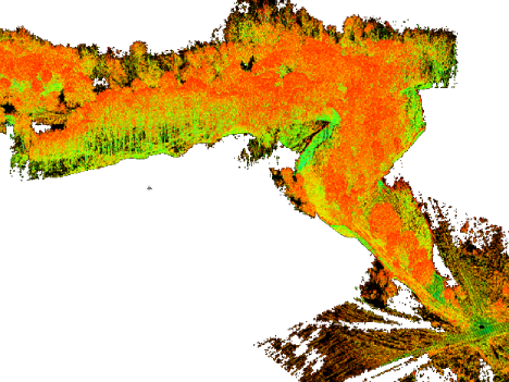
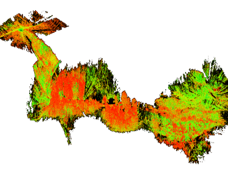
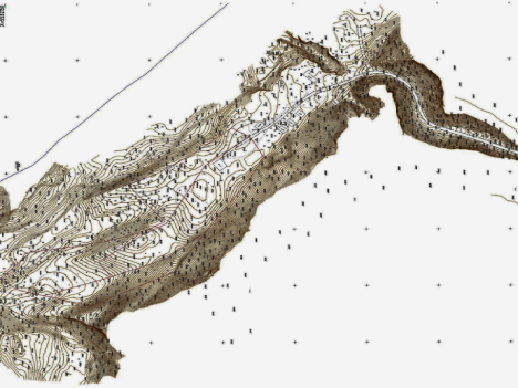
- The objective of the project was to create a topographic-geodetic plan at a scale of 1:500 in the State Coordinate System using the processed point cloud obtained from laser scanning.
Initial Data & Project Timeline:
- The project was based on the boundaries of the scanning area provided by the client.
- The scanning process was completed within 5 days, while the processing of the acquired data and delivery of the final materials to the client took 10 days.
Complexity:
-
The complexity of the project was due to the significant variation in height, with certain areas of the object reaching up to 35 meters, as well as the presence of a large number of trees and bushes.
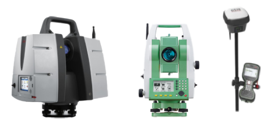
- ScanX specialists have successfully implemented numerous projects of varying complexity, utilizing a wide range of equipment and technologies. We invite you to explore the advantages of laser scanning, the stages of work execution, and the results achieved through a real-life example.