Kyiv-Pechersk Lavra: Digitization for UNESCO
Summary
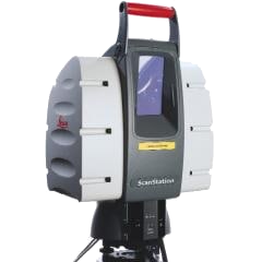
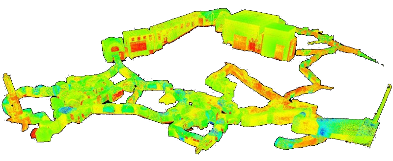
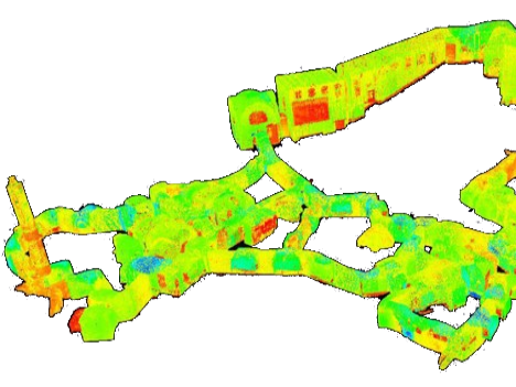
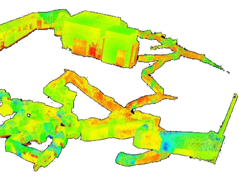
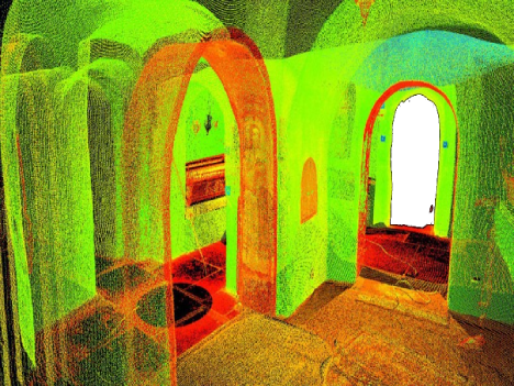
- Kyiv-Pechersk Lavra is a unique monastery complex, recognized by UNESCO as a World Heritage site. Over 43 million tourists from around the world have visited its territory throughout its existence. The complex consists of above-ground structures (religious buildings) and underground caves. The Leica ScanStation laser scanning system helps preserve this world heritage site in a digital form. The caves are a complex and extensive system of underground corridors, consisting of several parts: Near Caves, Far Caves, and Varyazhsky Caves. The first historical mention of the caves dates back to 1051. Initially, monks lived in the caves, and later they became burial grounds for monastery residents. The inhabitants of Kyiv-Pechersk Lavra proposed creating a three-dimensional model of the Lavra caves.
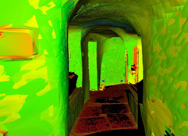
- Project Objective: Digital transformation for the preservation of the architectural monument and iconic landmark of Kyiv city. The goal was to create TIN surface models of the object, obtain a topographic plan at a scale of 1:500 in the local coordinate system, and construct profiles and cross-sections of the corridors and chambers of the caves.



Initial Data & Work Timeline:
- Geodetic surveying for establishing the foundation was conducted by the State Enterprise "Ukrgеodеzmаrk" of Kyivmetrobud JSC.
- Creation of geodetic foundation for data integration from laser scanning.
- The timeline for model creation and scanning was three weeks.
The complexity of the project:
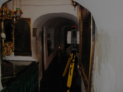
- The complexity of the project is high due to the requirement of conducting scanning exclusively during nighttime.
- ScanX specialists have successfully implemented numerous projects of varying complexity, utilizing a wide range of equipment and technologies. We invite you to explore the advantages of laser scanning, the stages of work execution, and the results achieved through a real-life example.