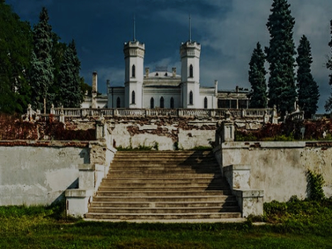
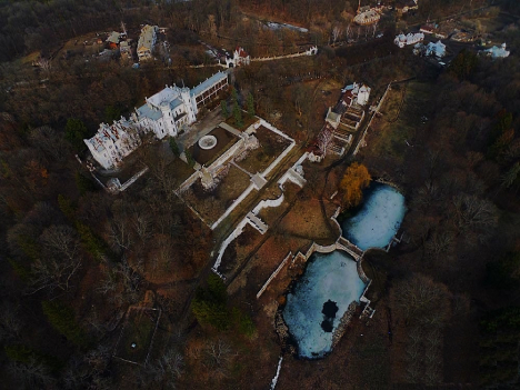
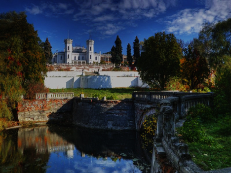
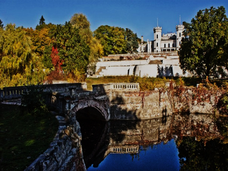
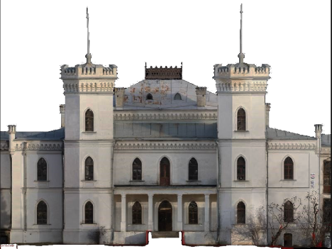
The subject of the scanning is Sharivka Manor, located on the banks of the Merchyk River in the Kharkiv region. Sharivka Manor is a historical architectural landmark built in the late 19th century in the neo-Gothic style. It was founded in 1836 by the landowner Savva Olkhovsky. The territory of Sharivka Park covers nearly 40 hectares, with approximately 8 hectares occupied by the manor, which includes the castle and engineering structures. Sharivka Castle is a two-story white building that has retained its architectural charm over time, with some decorative elements and moldings still intact. The left wing of the castle serves as residential and utility space, while the right wing features a two-story glass gallery built in the 1920s. The palace-park complex also includes two ponds and numerous decorative elements such as fountains, stairs, and alleys.
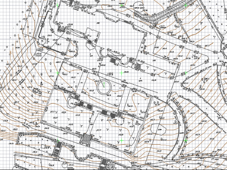
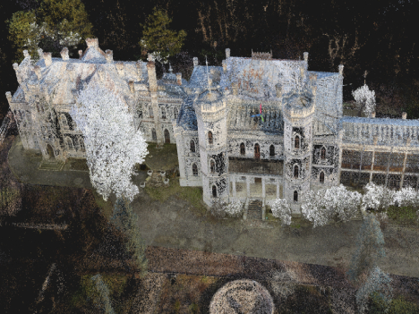
The purpose of the project was to perform topographic and geodetic surveying, scan the object and surrounding areas for the creation of a topographic plan and a three-dimensional model of Sharivka Castle. This is necessary for the further development of an architectural reconstruction project.
Initial Data & Work Timeline:
Total area of the object: 40 hectares
Timelines for office processing: 45 days
Complexity:
High - large scanning area, both in open terrain and complex architectural form of the castle
ScanX specialists have successfully implemented numerous projects of varying complexity, utilizing a wide range of equipment and technologies. We invite you to explore the advantages of laser scanning, the stages of work execution, and the results achieved through a real-life example.
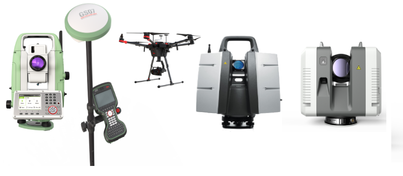
Equipment
GNSS receiver Leica GS07
Electronic total station Leica TS07
UAV Leica Aibot AX20
Laser scanner Leica RTC360
Laser scanner Leica Scan Station P30
Data Processing and Software
Credo DAT
Leica Cyclone
Autodesk AutoCAD
Reality Capture.
Project stages
Engineering and geodetic surveys: Topographic survey of the Sharivka Manor territory using the Leica GS07 GNSS receiver and the Leica TS07 electronic total station.
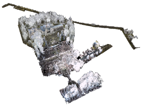
Laser scanning: Simultaneous ground-based laser scanning using the Leica RTC360 scanner for Sharivka Castle and the perimeter fence, and the Leica Scan Station P30 for the surrounding engineering structures. A total of 48 scanner setups were required over a 5-day period to capture a comprehensive point cloud.
UAV data collection: Complementing the point cloud by capturing georeferenced photographs of the castle roofs using the Leica Aibot AX20 UAV equipped with a Sony α7 RII camera. A total of 2,185 photographs were taken.
Office data processing: Processing of acquired data included using the Credo DAT software for the total station survey, Leica Cyclone for stitching and processing laser scanning data, Autodesk AutoCAD for creating the topographic plan based on geodetic and laser scanning data, and Reality Capture for integrating laser scanning data, UAV imagery, and creating a 3D model.
Topographic plan: A topographic plan of Sharivka Manor was created with a scale of 1:500, featuring contour lines at intervals of 0.5 meters. The final file format is *.pdf.
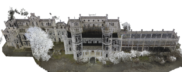
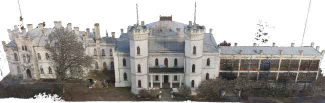
3D model of Sharivka Castle: A three-dimensional model of Sharivka Castle was generated. The final file format is *.e57.
These data provide detailed information about the terrain and architectural features of Sharivka Manor, facilitating further analysis, planning, and visualization of the site.
ScanX performed the scanning and surveying tasks at the Sharivka Manor, a site of immense historical and architectural importance. The results we achieved were truly impressive, as ScanX successfully generated a detailed topographic plan and a three-dimensional model of the castle. These valuable datasets hold significant potential for restoration, research, and the preservation of cultural heritage.