
30.10.2022
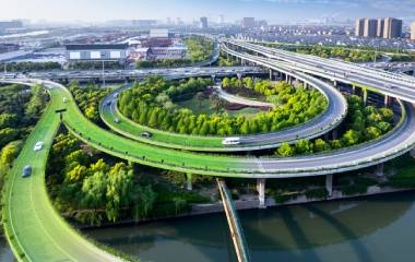
Road construction is a complex industry that requires a lot of calculations, design, measurements and analysis at every stage, so laser scanning technology is more relevant than ever at all stages of this industry! Before the advent of the latest laser scanning systems, geodetic surveying and other computational and design processes were done using classical methods, which required a lot of time and resources.
Due to the high speed and automation of the process, laser scanning technology leads to a significant increase in surveying productivity. The result of the surveying is a t...
29.10.2022
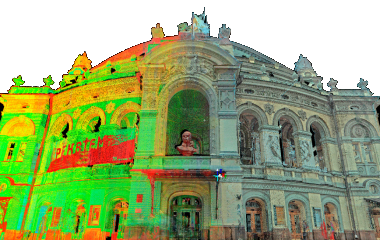
Let's consider what this technology is and how it changed the industry once and for all!
Laser 3D scanning is a modern technology, combined with a surveying system that measures the distance from the scanner to the points of the object at a fairly high speed and registers the corresponding directions, followed by the creation of a three-dimensional image in the contour of the point cloud. The emergence of this technology has changed the field of geodesy, land management, modeling, and design for the better! What used to take days or weeks became possible to do in hour...
29.10.2022
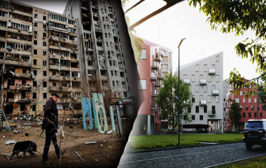
How will laser scanning speed up the reconstruction of Ukraine after the war? Let's figure it out!
The destruction that Ukraine suffered during hostilities is the largest in Europe since the Second World War.A colossal amount of civil, industrial and critical infrastructure of the country was destroyed! All these objects will require restoration, reconstruction, or retrofitting and construction from scratch. It will take a lot of time, money and effort to restore all these objects! Laser 3D scanning technology can speed up this process many times over and save a lot of resources! ...
24.10.2022
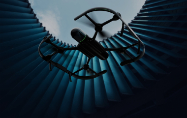
Unmanned aerial vehicles (UAVs), or drones, have proven to be a reliable technology for creating maps, plans, and other geodata products.
In autonomous mode, but under the close control of the operator, UAVs are capable of performing various aerial photography options for creating photo and video productions, producing cartographic products and 3D models, monitoring changes and performing various calculations. To perform aerial photography, we do not need an airfield and the complex infrastructure associated with it.
There are several sections of UAV characteristics:
The basic o...